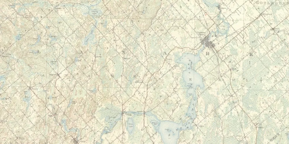
Delve into Canada’s past
Explore Canada’s rich history with Pathfinder Maps’ collection of historical topographic maps. Perfect for researchers, hikers, and history buffs alike, our maps offer an amazing insight into the past. Contact us for details on which maps are available to uncover the stories hidden within these meticulously produced Government of Canada documents.
For Researchers
Please send us an email describing the area you are interested in and we will search our extensive collection of topographic maps, perfect for hiking, camping, research, and we will send you an index of that area. Find the detailed information you need to explore Canada’s diverse landscapes.
For some areas historical topo maps are available.

For Hikers & History Buffs
Enhance your outdoor adventures with a piece of Canadian history. Our historical topographic maps, produced by the Government of Canada, offer a unique perspective for hikers and history buffs. Explore the landscape as it once was, discover old trails, and gain a deeper appreciation for the natural and human history of Canada. Each map tells a story – what will you uncover?